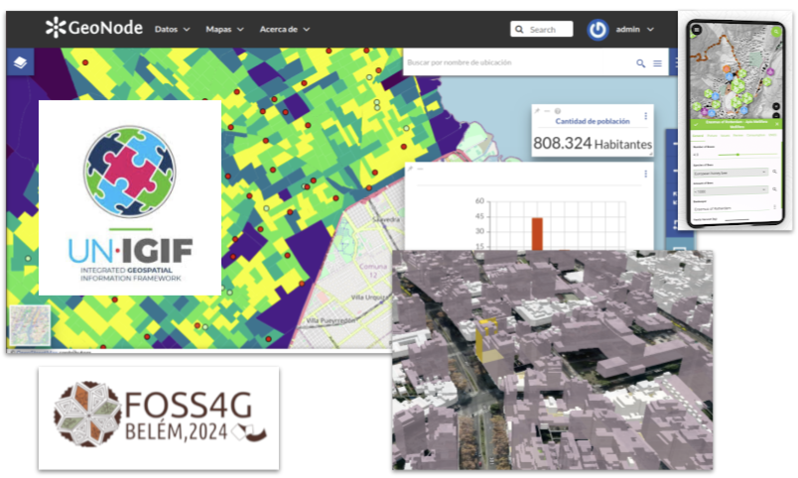
DWG 8: Open-source implemetation of IGIF
Working Group 8 aims to support the long-term adoption and use of
Spatial Data Infrastructures (SDIs) in UN member states by
promoting open-source technology as a key tool for implementing
the IGIF's "Strategic Pathway 7: Technology and Infrastructure."
The goal is to ensure interoperability, efficiency,
sustainability, and equitable access to geospatial information.
Please access our
DWG8 website
if you are interested in participating with us! Again, we are an
open community of practice.