

CI
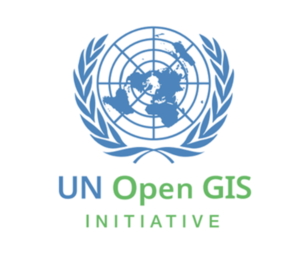
Download UN Open GIS Initiative CI: .pdf file | .ai file
The CI of UN Open GIS Initiative was created through the "UN Open GIS Logo Contest" [1] supported by "OSGeo United Nations Committee [2]" (now it re-named as "OSGeo United Nations Initiative" [3] . The current CI took the first place among 52 submissions.
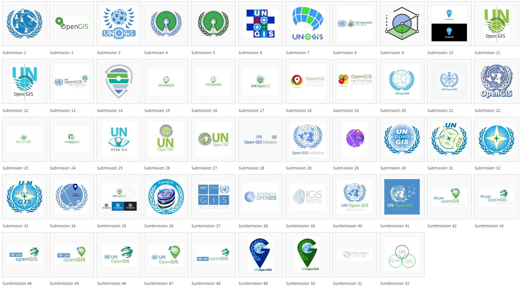
Figure 1. 52 Submissions for CI of UN Open GIS Initiative
OSGeo has been involved in the UN Open GIS initiative through the OSGeo United Nations Initiative [3] (formerly OSGeo United Nations Committee [2]). Geo4All of OSGeo is leading Working Group 2 of UN Open GIS Initiative for Capacity Building of Open Source GIS softwares.
Reference
[1] UN Open GIS logo contest: https://wiki.osgeo.org/wiki/UN_Open_GIS_logo_contest#Submissions
[2] OSGeo United Nations Committee: https://wiki.osgeo.org/wiki/UnitedNations_Committee
[3] OSGeo United Nations Initiative: https://www.osgeo.org/initiatives/un-initiative/