

About UN Open GIS Initiative
Who runs?
The UN Open GIS Initiative is an ongoing Partnership Initiative for Technology in Peacekeeping of United Nations Department of Operational Support (UN DOS). It has been running by the United Nations Geospatial in the Office of Information and Communications Technology, UN DOS since March 2016.
Figure 1. The United Nations Geospatial (UN GIS)
Vision and Partners
The UN Open GIS Initiative aims to identify and develop an Open Source GIS bundle that meets the requirements of UN operations for both peace-building and peace-keeping. This significant undertaking is supprted by mission partners (Member States, technology contributing countries, international organizations, academia, NGO’s, and the private sector) with taking full advantage of their expertise.
Its strategic approach shall be developed with best and shared principles, standards and ownership, in a prioritized manner that addresses capability gaps and needs without duplicating efforts of other Member States or entities. The UN Open GIS Initiative strategy shall collaboratively and cooperatively develop, validate, assess, migrate, and implement sound technical capabilities with all the appropriate documentation and training that in the end provides a united effort to improve the effectiveness and efficiency of utilizing Open Source GIS around the world.
The members of the UN Open GIS Initiative are composed of Contributor and Observer.
Contributor: Any member state or organization who agrees with the strategy manifesto of the UN Open GIS Initiative and actively contributes to the UN Open GIS Initiative in terms of financial, materials, solutions, technologies, and/or human resources. The contributor membership shall be decided by the Strategic Board.
Observer: Any member state or organization who agrees with the strategy manifesto of the UN Open GIS Initiative and participates in the UN Open GIS Initiative activity. The observer membership shall be granted by the Strategic Board.
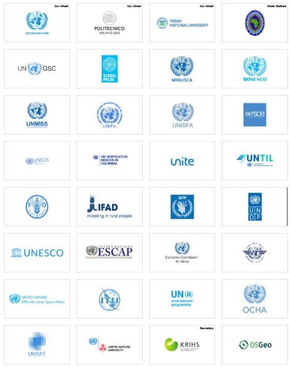
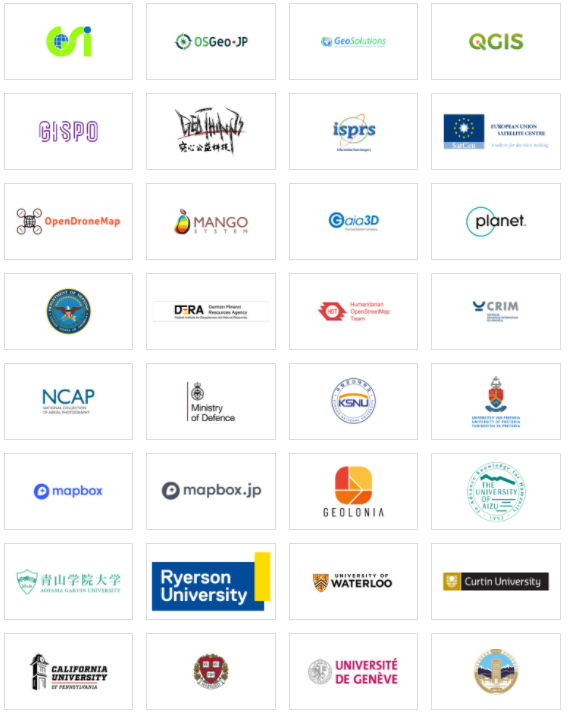
Figure 2. Members (partners) of UN Open GIS Initiative
Governance Structure
The the UN Open GIS Initiative is comprised of:
- Strategic
Board
- Co-Chairs;
- Secretariat;
- Technical
Advisory Group;
- Working Groups;
- Pilot Project Teams
Strategic Board: The Strategic Board consists of representatives from each contributor where each contributor nominates one representative to the Strategic Board and the Secretary. The Strategic Board is responsible for deciding goals, strategic planning, creation of a new working groupl and termination of existing working group, creation and termination of group, election of co-chairs, and appointment of the members of the Technical Advisory Group (TAG).
Co-Chairs: There are three Co-Chairs, where one Co-Chair is appointed
from the United Nations and two Co-Chairs are elected among the Strategic Board
members. The Co-chair(s) are responsible to take the lead and the
responsibility of all UN Open GIS Initiative activities, and chairs the
Strategic Board meeting.
Secretariat: The Secretariat is made of representatives of the contributors and elected by the Strategic Board. The Secretariat is responsible to support the Co-Chairs and the Strategic Board as well as the activities of the UN Open GIS Initiative. Since May 2019, the Global Partnership Center of Korea Research Institute for Human Settlements is serving as co-secretariat of UN Open GIS Initiative along with UNGIS.
>> More details about governance structure of UN Open GIS Initiative.
>> More information about the GIS Section in UN DOS
>> Terms of Reference -- UN Open GIS Initiative